Share East Santa Clara Waterway Enhancement Project on FacebookShare East Santa Clara Waterway Enhancement Project on TwitterShare East Santa Clara Waterway Enhancement Project on LinkedinEmail East Santa Clara Waterway Enhancement Project link
About the Project
The East Santa Clara Waterway (ESCW) is a small tributary stream of the Willamette River, located on the northern edge of the Eugene metropolitan area. The waterway is approximately 2.5 miles in total length and flows northerly through a mix of urban, suburban, and agricultural lands before flowing into the Willamette River.
A defined 3/4-mile section of the ESCW, approximately between Division Avenue and just east of Lenox Road/Salty Way, has been the subject of interest by some adjoining property owners, primarily about the perceived risk of flooding. Due to the challenging physical and jurisdictional characteristics of this waterway, the City and County partnered to conduct a comprehensive study of the issues and opportunities, and proposed actions to address them. The ESCW study was completed in 2019 and the City and County continue to move forward in partnership to implement the proposed actions including a hydraulic analysis of the waterway segment which was completed in 2021 and the identification of a capital project to restore flow through the system.
The capital project will include regrading along the waterway, creating a dedicated low flow channel along the regraded sections, removing and replacing existing culverts, and restoring vegetation along the disturbed areas of the waterway. The project will be constructed in two phases, with the first phase extending from Lone Oak to just north of Hunsaker Lane (to be constructed in summer 2024) and the second phase extending from the terminus of phase one north to just east of Lenox/Salty Way.
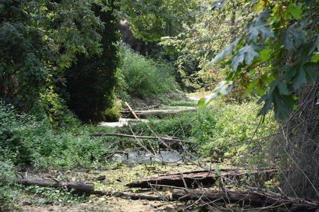
Comprehensive study of 3/4-mile section of the East Santa Clara Waterway
East Santa Clara Waterway Enhancement Project has finished this stage
City and County staff researched historical data, met with property owners, and evaluated the issues and opportunities. The ESCW study report, including a set of proposed actions, was completed in July 2019.
Follow up on ESCW Study's proposed actions
East Santa Clara Waterway Enhancement Project has finished this stage
Follow up actions in progress include public outreach and education about the importance of keeping floodplains free of impediments to protect life and property, and clarification of waterway management responsibilities. Follow up actions that have been completed include a hydraulic analysis of the waterway, identification of a capital improvement project, and award of an engineering design contract to DOWL.
Topographic surveying
East Santa Clara Waterway Enhancement Project has finished this stage
Public Works Engineering staff have finished topographic surveying of the waterway from Lone Oak to about just feet north of Hunsaker.
Capital improvement project
East Santa Clara Waterway Enhancement Project is currently at this stage
A capital project including channel regrading, culvert replacement, and restoration of vegetation will be constructed in two phases starting in summer of 2025.